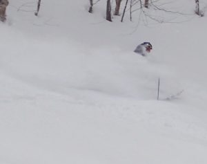
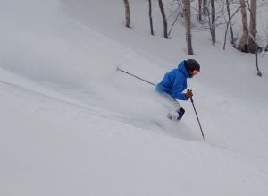
We received 6 to 12 inches of new snow last night and this morning. The snowfall that we received was an upslope snow event.
 The National Weather Service defines an upslope snow event as:
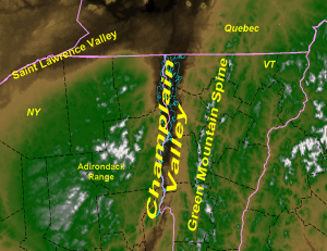
These are highly localized, possibly high impact events that affect the region. Upslope precipitation, in general, is produced by cool moist air being forced up the mountain slopes, and in this study, on northerly to westerly winds. Depending on the details of each event, impacts can range from only a few inches along the peaks of the Green Mountains to a highway-closing 1 to 3 foot snowstorm along the western slopes of the Green Mountains and even into the Champlain Valley. One of the main factors in these events is the terrain of Vermont, as shown in Figure 1. The Green Mountains, with peaks as high as 4395 feet (Mount Mansfield) run primarily north to south through the central portion of the state and are one of the main contributors to upslope snowfall in the state. Research by: Michael Muccilli, Meteorologist, NWS Burlington, VT
 Amazing conditions
Sterling Mountain is 100 percent open! This weekend we plan to have top to bottom skiing and riding on all 3 mountains with 4 lifts operating, the Madonna I Lift, the Sterling Lift, Mogul Mouse’s Magic Lift, and Sir Henry’s Glider.


