
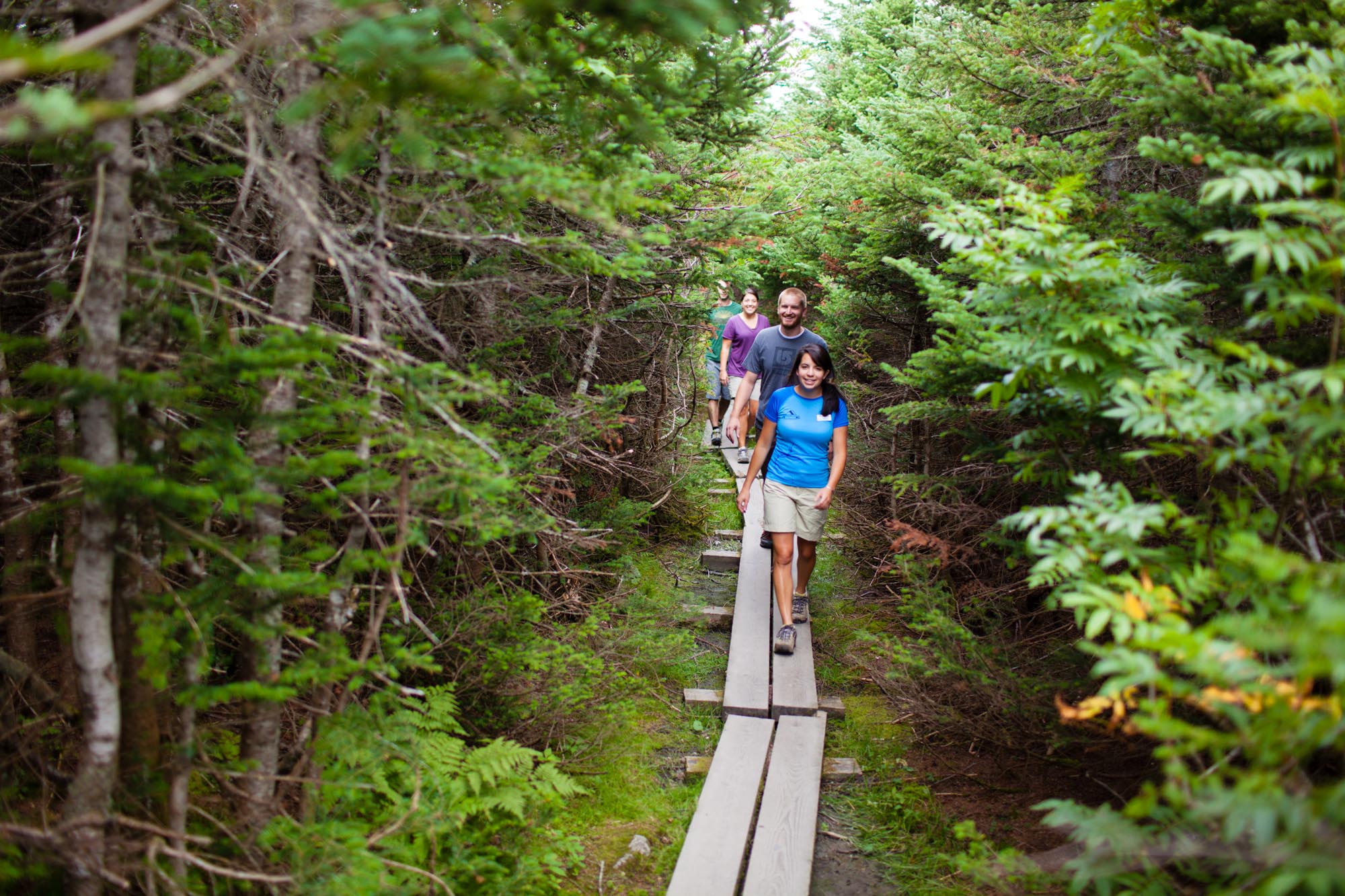
Hikes and Walks
Experience the beauty of Vermont on foot!

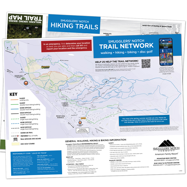
Hiking at Smugglers’ Notch Resort
Join a guided hike or explore the area on your own!
Explore the natural beauty of Vermont’s Green Mountains with our variety of guided hikes and self-guided recommendations, both on and off property. Whether your family seeks a leisurely adventure or a challenging trek, we have something for everyone!
Hikes, Wikes, Walks – What’s the difference?
Our guided hiking adventures are called hikes, wikes, and walks to help you choose the degree of difficulty and duration of the outing that is right for you.
Walks
A 1 1/2 hour walk involving mild to moderate exercise. Considered the easiest in difficulty.
Wikes
A little longer in duration, up to 3 hours, and moderate to demanding exercise.
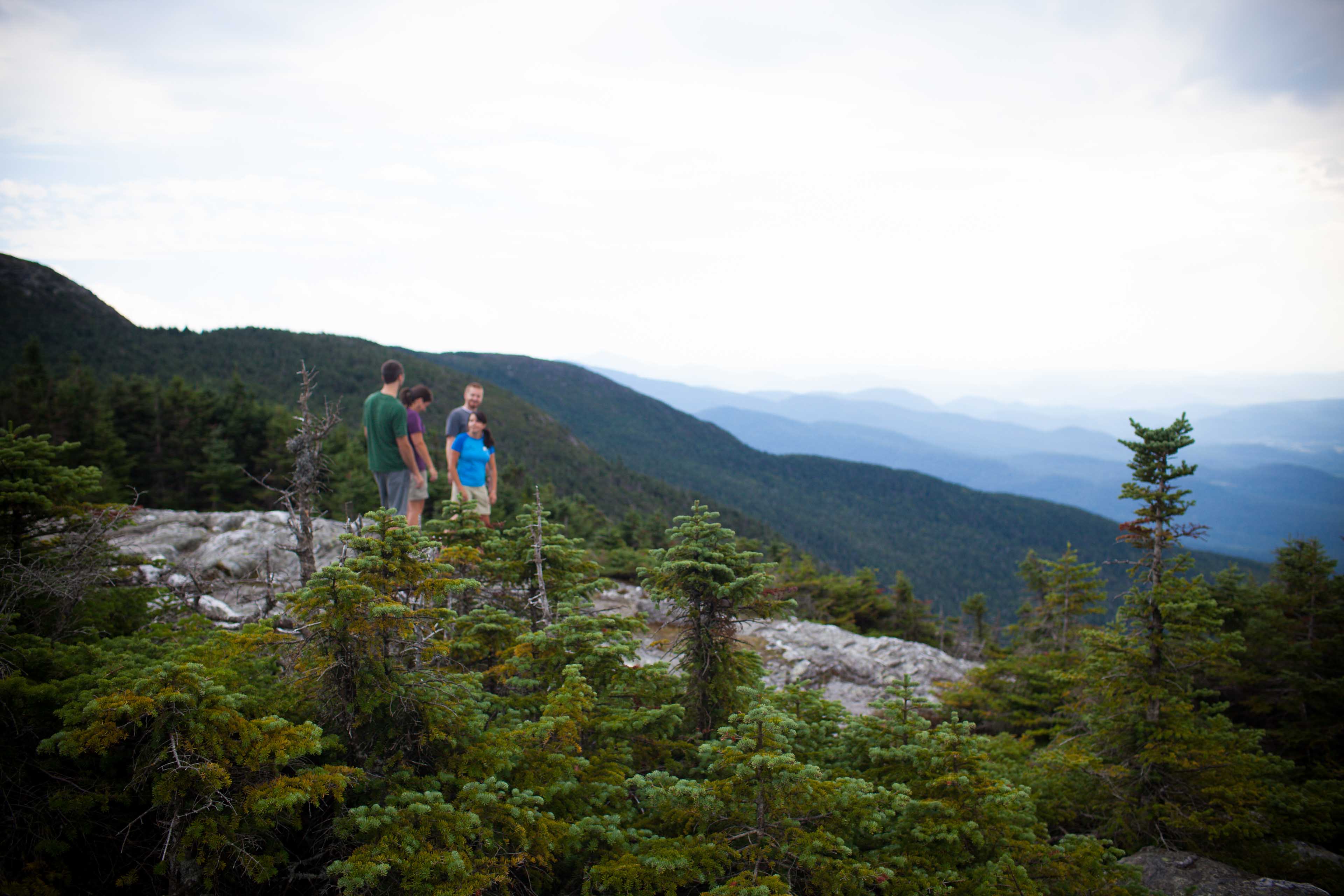
Hikes
The most physically demanding and longest in duration, typically 4-6 hours.
Explore our guided adventures…
-
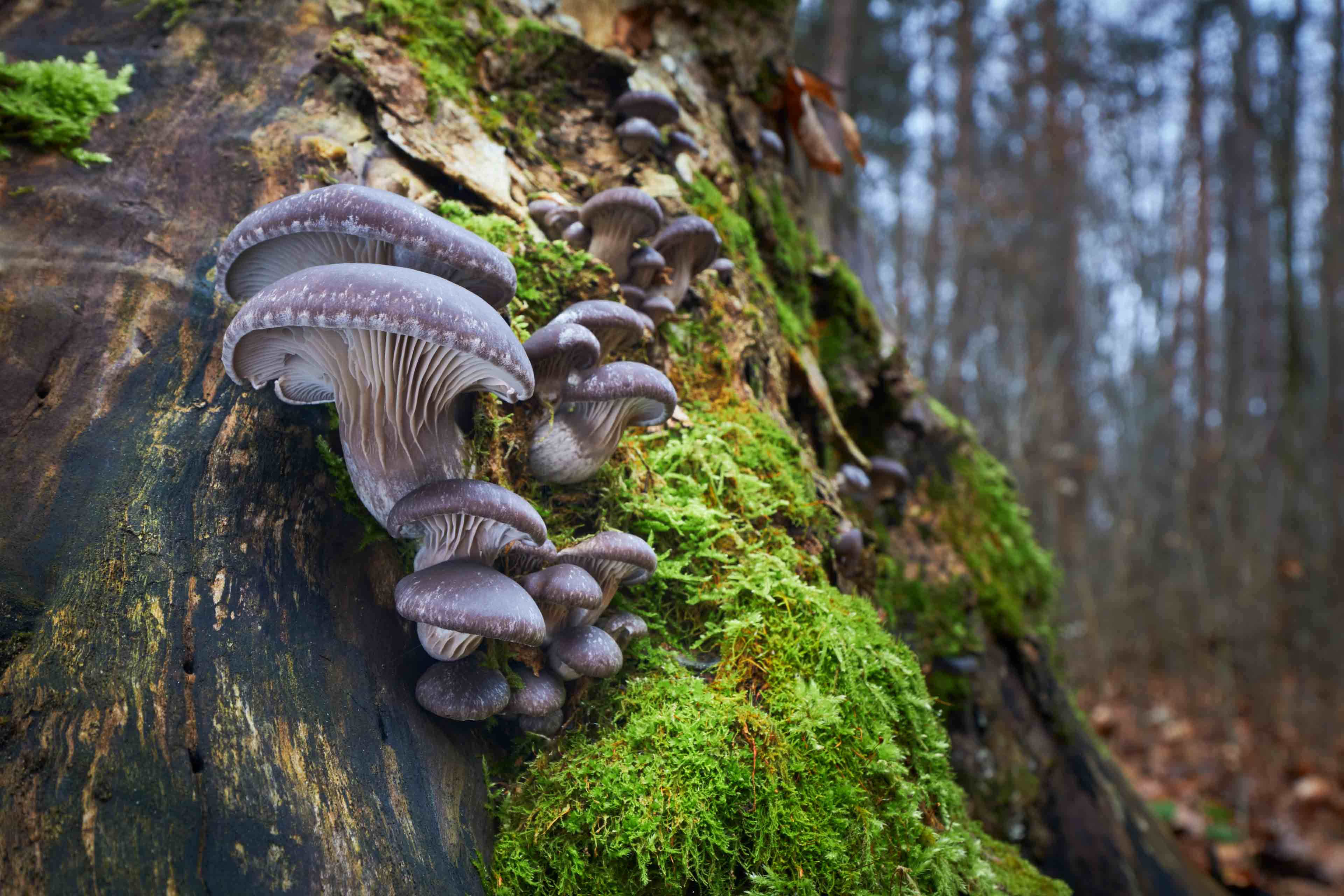
Mushroom Hunt
Join our expert for a 1.5-hour walk to explore edible mushrooms and their toxic look-alikes at Smugglers’ Notch Resort.
-
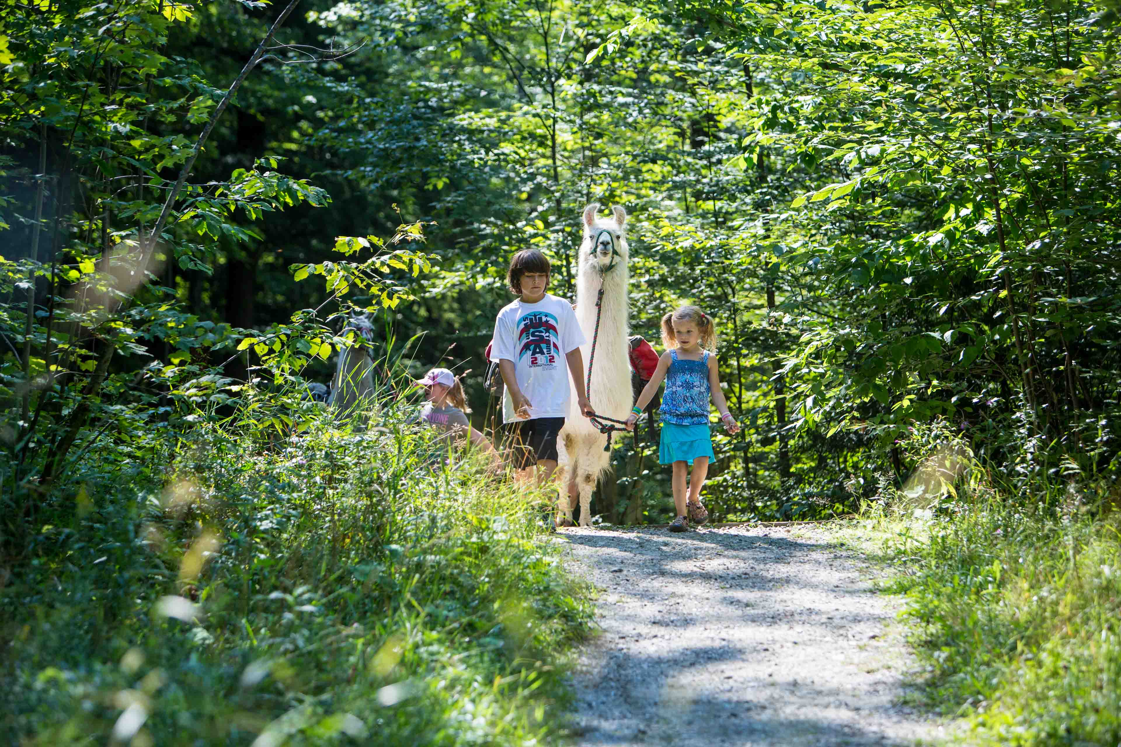
Llama Treks
Enjoy a hike and picnic with the Northern Vermont Llama Company around Smugglers’ Notch, where llamas carry your provisions, complemented by Ben & Jerry’s ice cream.
On-site self-guided adventures
Discover the natural beauty of Smugglers’ Notch!
Explore the trail system within the resort at your own pace. Our trails are perfect for families looking to enjoy a leisurely adventure, offering a variety of paths through lush forests and scenic landscapes. Enjoy the freedom to embark on your journey whenever you’re ready and immerse yourself in the serene surroundings of Vermont’s Green Mountains.
Start your self-guided scavenger hunt adventure at the Gazebo. Follow the clues around the Village, find the hidden letters, and unscramble them to discover the secret word.
Can you unscramble the word? Here are your clues!
- Head to the courts of the 2nd fastest growing sport that rhymes with nickel.
- Here you can play Mini golf and mine for gold. Look for a sign near the beginning hole.
- Mama’s lead their families here to meet and trek with llamas
- Smugglers Notch has winter, spring, summer, and fall. Head to the pond at the entrance that has a view of it all.
- We go here to throw and have a good time. You’ll find this clue near hole 2 of the village nine.
- Head to the green where family events can be seen. Look for this clue near the gazebo.
The secret word answer can be found at the Tennis Center.
Off Property Self-Guided Walks & Hikes
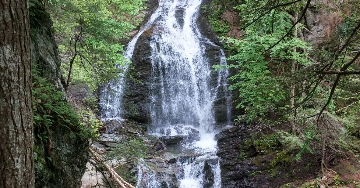
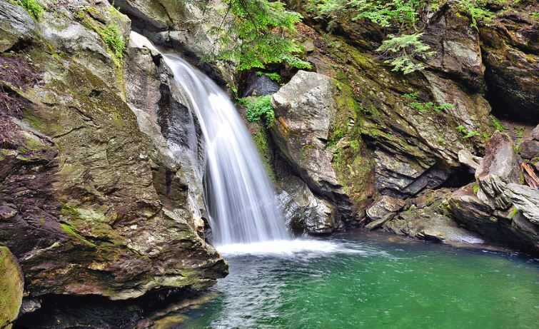
Moss Glen Falls
Stowe, VT
Hiking Distance 1 mile
Easiest
Admire these majestic falls from a scenic winding path in the woods that leads to the prime viewing spot. As the highest and most dramatic falls among the three described in our Self-Guided Hikes, this location is perfect for artists and photographers looking to capture exceptional images of nature.
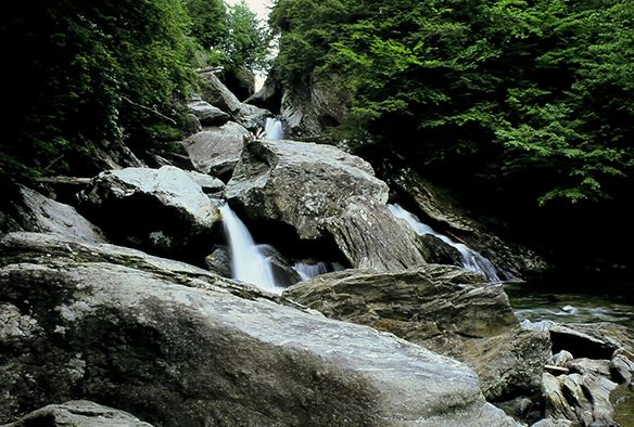
Brewster River Gorge
Jeffersonville, VT
Hiking Distance 1.5 miles
Easiest
Located along the picturesque Brewster River, which originates high on the Sterling Range, this trail offers a delightful hiking experience for families. Enjoy multiple swimming holes along the river, with the most popular one located at the base of the falls upstream, just below the Gorge.
Bingham Falls
Stowe, VT
Difficult
Explore the dynamic rock formations sculpted by the forceful river currents. In this forested area, you’ll find an abundance of wildflowers and birds to observe. Relax and enjoy the cool air on a hot summer’s day. Amble upstream for a pleasurable river walk or take a dip in one of the many refreshing swimming holes located above and below the falls.
Prospect Rock
Johnson, VT
Elevation 1040′
Vertical Rise 530′
Hiking Distance 2 miles
Difficult
The trail begins with a moderate grade through the woods and then climbs steeply for a short distance before reaching the top and the lookout point.
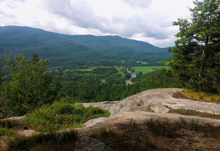
Nebraska Notch (Lake Mansfield Trail)
Moscow, VT
Elevation 1850′
Hiking Distance 3.6 miles
More Difficult
The Lake Mansfield Trail, also known as the Nebraska Notch Trail, is a great family hike that offers something for everyone. Enjoy sweeping valley views, a crystal-clear glacial pond, vibrant tree-covered hills, and even a small waterfall. This trail promises a memorable adventure for the whole family.
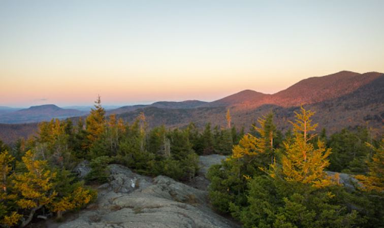
Stowe Pinnacle
Stowe, VT
Elevation 2651′
Hiking Distance 2.8 miles
More Difficult
A very popular hike above the village of Stowe takes you to a rocky outcropping on Hogback Mountain, part of the Worcester Range. From here, you’ll enjoy an outstanding view of Mt. Mansfield and the Sterling Ridge, showcasing the back side of the Resort’s mountains.
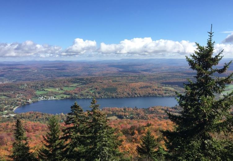
Elmore Mountain
Elmore, VT
Elevation 2608′
Hiking Distance 4.5 miles
More/Most Difficult
Located in Elmore State Park, Elmore Mountain is part of the Worcester Range and offers a stunning 360-degree view from the lookout tower at its summit. With Lake Elmore below you and the Green Mountains extending from Jay Peak to Camel’s Hump, with Mt. Mansfield in the center, you’ll enjoy a commanding view of the Lamoille Valley.
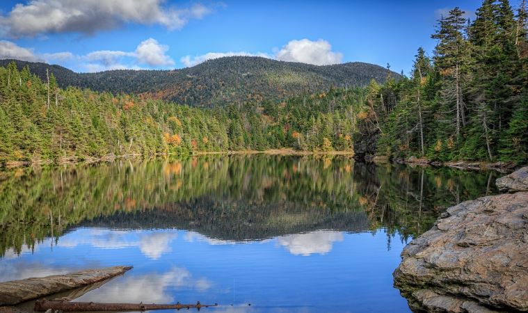
Sterling Pond
Jeffersonville, VT
Elevation 3000′
Hiking Distance 2.4 miles
Most Difficult
Climb to the top of Sterling Mountain to visit the highest trout pond in the state. As you ascend, enjoy breathtaking views of Smugglers’ Notch Resort and the Lamoille River Valley. This hike is a segment of the Long Trail, which spans the length of Vermont.
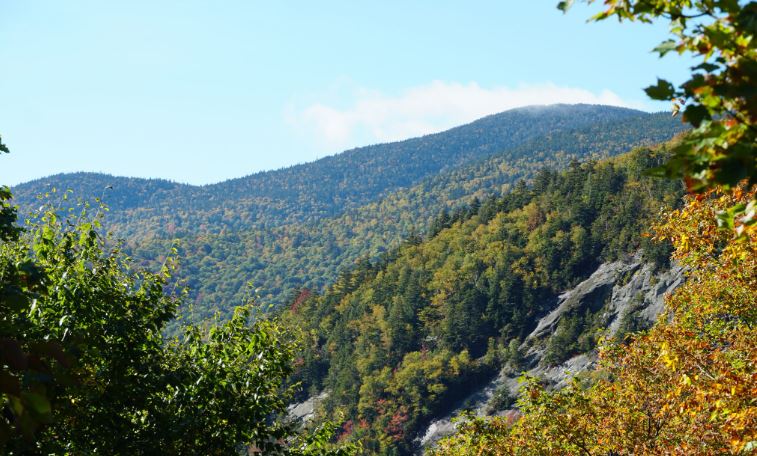
Mt. Mansfield – East
Stowe, VT
Elevation 4393′
Hiking Distance 5.2 miles
Experts Only
Approach Vermont’s highest mountain peak on the east side via the Long Trail. Enjoy shaded woods and babbling brooks as you climb towards the summit. Glance at the open ledges above to see your destination.
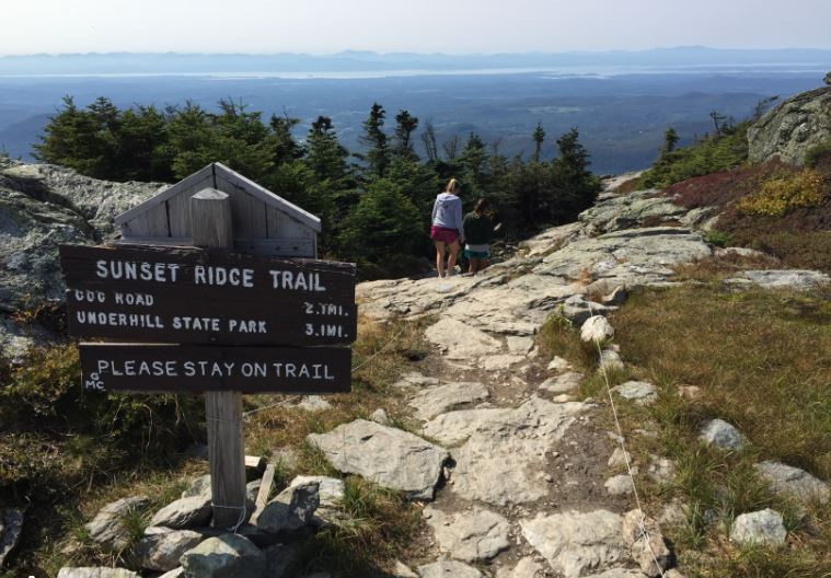
Mt. Mansfield – West
Underhill, VT
Elevation 4393′
Hiking Distance 6.6 miles
Experts Only
Approach Vermont’s highest mountain peak from its west side via the Sunset Ridge Trail. This challenging hike rewards you with stunning views from the open ridge and the summit. Begin your journey with an initial climb through beautiful forest, leading you to the open ridge of the trail.

